
The difference is perspective. Most modern permitting systems are designed around moving an application through a workflow. Schneider Geospatial brings another perspective: the property and place where that activity occurs.

Platform
Parcel-centric permitting: modern permitting software built for local government.
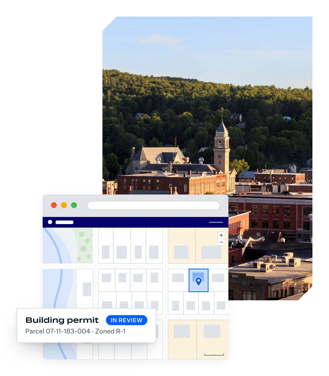
GeoPermits connects permitting activity to the property and place where it occurs, bringing available parcel, property, and geographic information into the permitting experience so staff can make faster, better-informed decisions.
Proven in local government
1,000+ local governments across 34 states rely on Schneider Geospatial.
Predictable annual budgeting
Our affordable permitting software uses flat-rate pricing.
Self-service administration
Staff can update forms, fees, and workflows without IT tickets or vendor fees.

An address tells you where. A parcel can tell you much more about the place.
Every permit is associated with a physical location. But knowing where to find an activity isn't the same as understanding the place where it's happening. GeoPermits is a parcel-centric permitting system that brings available property and geographic information into the permitting experience, so staff has better context for decision making.
An address tells you where. A parcel can tell you much more about the place.
Every permit is associated with a physical location. But knowing where to find an activity isn't the same as understanding the place where it's happening. GeoPermits is a parcel-centric permitting system that brings available property and geographic information into the permitting experience, so staff has better context for decision making.
Coordinate rezoning requests, conditional use permits, and variances.
Related module
View code enforcement records against property parcels before issuing new land-use permits.
Related module
Coordinate land development approvals, including site plan reviews and subdivision plats.
Related module
Rather than forcing departments into rigid processes, the GeoPermits solution allows you to tailor workflows to each department.
Manage right-of-way (ROW) access, utility connections, driveway construction, land disturbance, and stormwater compliance.
Related module
Permit-Centric vs Parcel-Centric
What is the difference between permit-centric permitting and parcel-centric permitting?
1
Permit-Centric Permitting Asks
Where is this permit in the process?
2
Parcel-Centric Permitting Adds
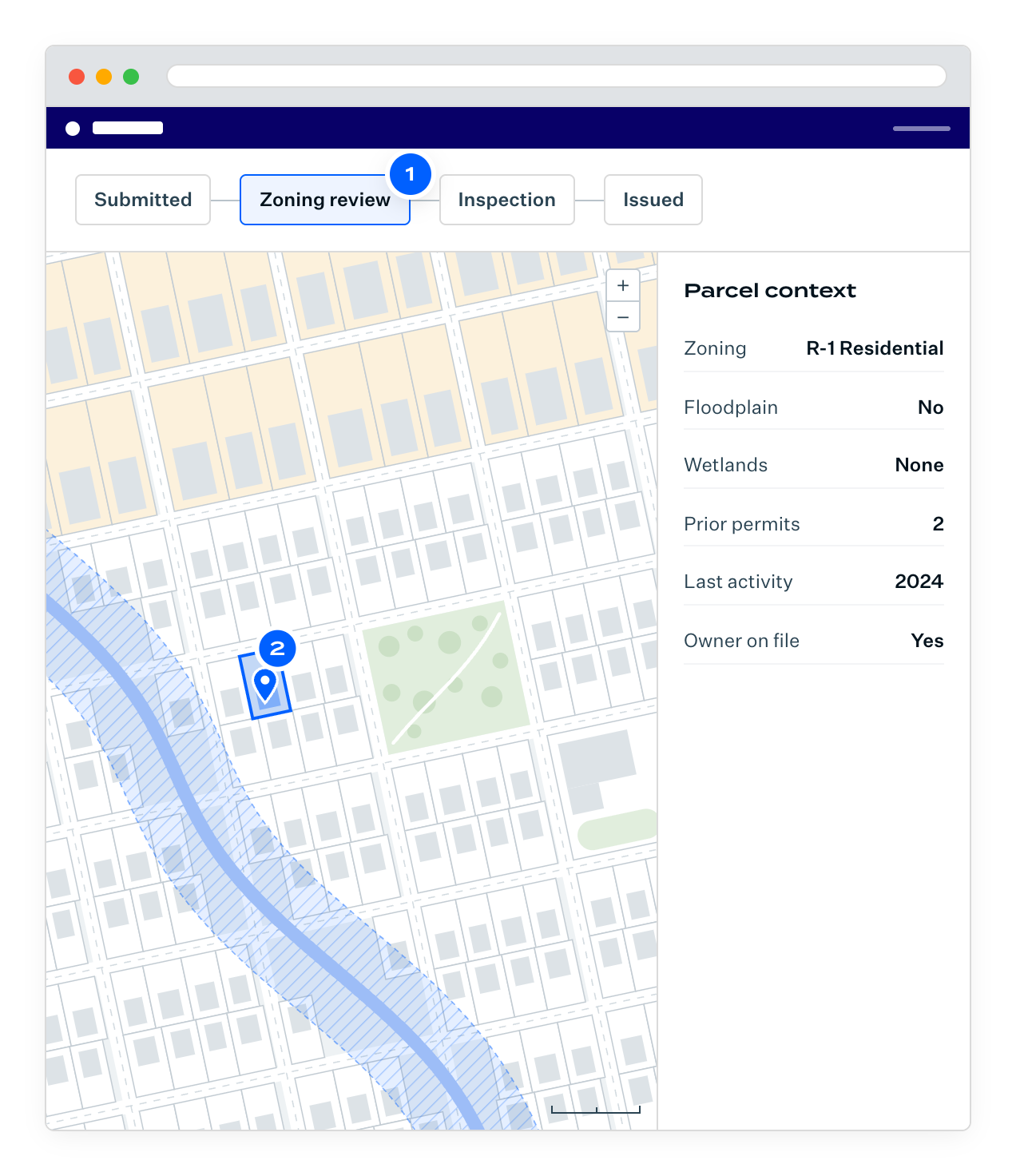
What do we understand about the place where this activity is happening?
The strongest permitting experience should help local government answer both. Parcel-centric permitting puts the permitting workflow in the context of place.
The parcel-centric advantage
Manage the process and understand the place.
You shouldn't have to choose between managing the permitting process and understanding the place where the work will happen. Parcel-centric permitting gives you both, by putting property and location context at the center of the workflow.
Your government already has valuable information about the property. Why make staff or applicants hunt it down again? Parcel-centric permitting brings available property and location data into the workflow, so you can start with what you know instead of recreating it.
A permit tells you what someone wants to do. The property tells you what you need to consider. See proposed activity in context with property boundaries, zoning, environmental constraints, GIS layers, and other location information that can affect the decision.
Planning. Zoning. Building safety. Public works. Environmental health. Code enforcement. Their processes may be different. But they all have one thing in common: where the activity happens. The parcel gives departments a shared point of reference, helping everyone work from the same understanding of the place.
Today's permit becomes tomorrow's property history. By connecting activity to the parcel, what your government learns today can provide valuable context the next time someone applies for a permit, reports an issue, or needs an answer about that property.
Trusted by 1,000+
local governments

Why Schneider Geospatial
Decades of property and location leadership.
Property and location intelligence aren't capabilities Schneider Geospatial discovered because we entered the permitting market. They're where we started and they remain at the center of our platform.
For decades, Schneider Geospatial has helped local governments manage and understand parcel, property, and geographic information. Parcel-centric permitting brings that foundation into the permitting process.
64
years serving local government
1,000+
counties and cities
34
states
Core Capabilities
GeoPermits core capabilities.
GeoPermits combines parcel-centric permitting with a web-based workflow management solution designed for local government permitting, licensing, and related administrative processes.
Management
EFFICIENT + TRANSPARENT
Create seamless permitting processes for staff and citizens
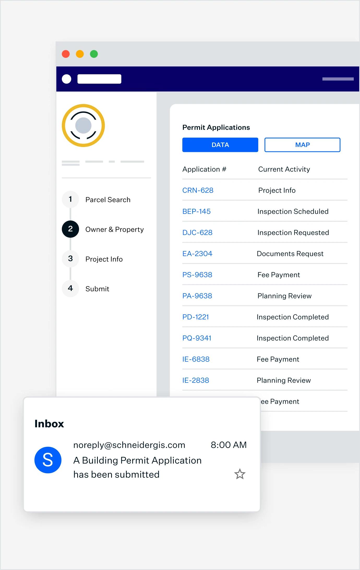
Save hours of time with online processes for managing permit applications, vendor registration, and code enforcement. We’ll create custom processes, forms, and fee collection tools to suit your community.
Visualization
VISUALIZE DATA
Your Data, Simplified
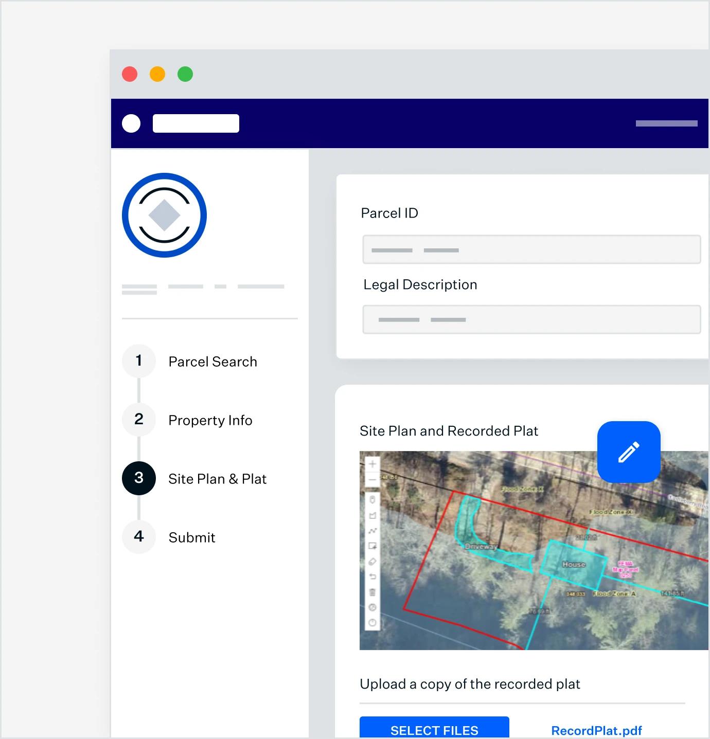
Harness the power of a map-based interface to search and locate permits effortlessly.
Experience
EASE-OF-USE
Streamlined and Customizable
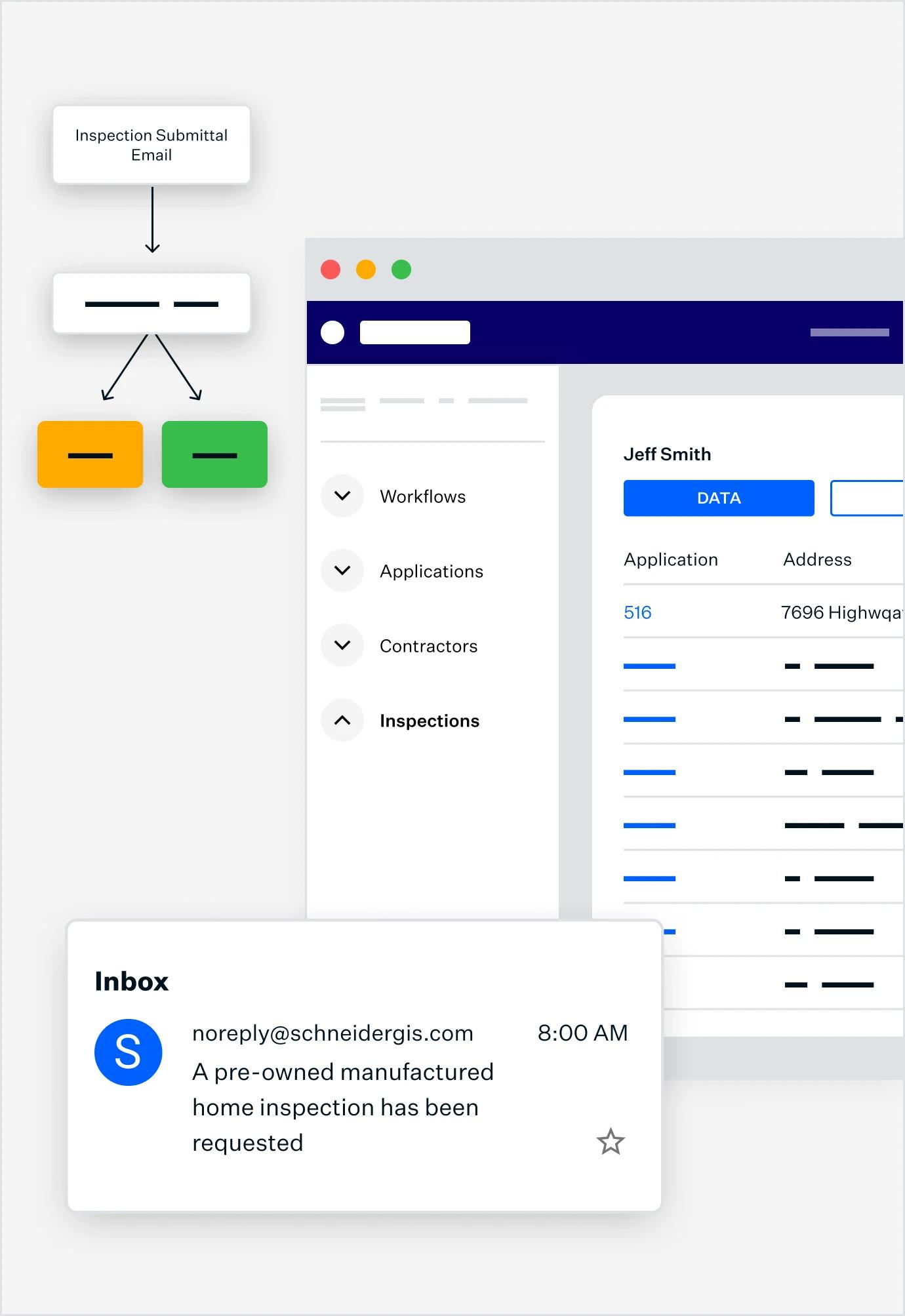
Customize your permitting system to fit your specific requirements and workflows, enhancing efficiency, and productivity.
Experience
SUPERIOR ENGAGEMENT
Engaging and Intuitive
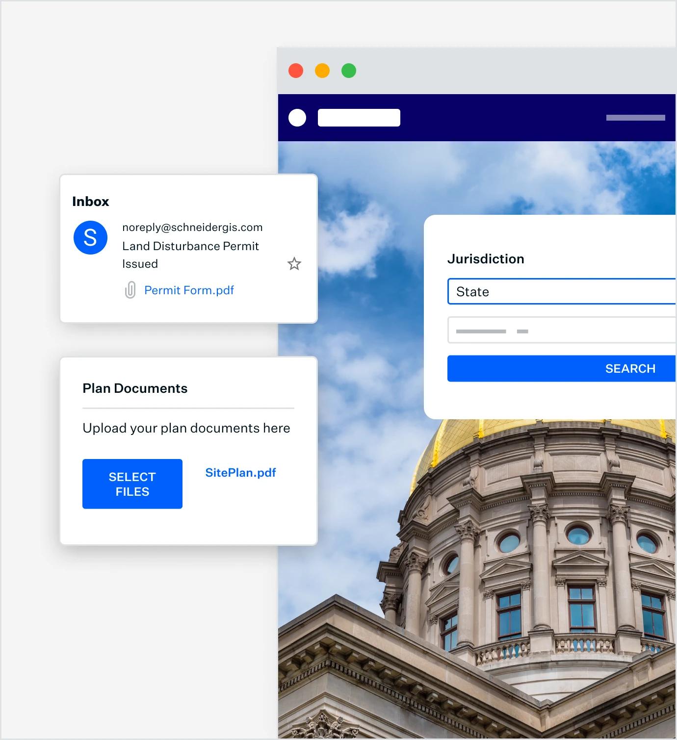
Enhance the experience for citizens filing permits and licenses, making it straightforward and user-friendly.
ADAPTABLE + COST-EFFECTIVE
Use Schneider Geospatial’s workflow management software for all permit types
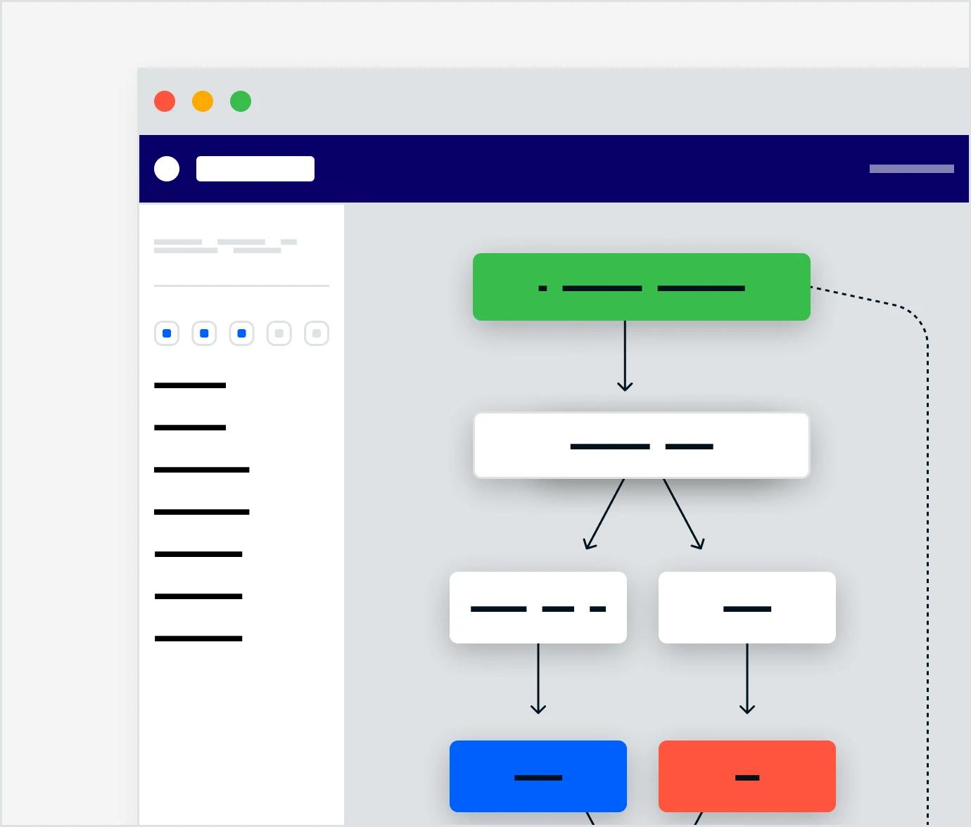
Our system adapts to the needs of every permit or licensing process you manage. Rely on Schneider Geospatial for Building, Engineering, Fire, Health, Construction, DPW, Business, and more.
Request a live product walkthroughProven results from communities.
Local governments across the nation are transforming their operations using GeoPermits.
Case Study 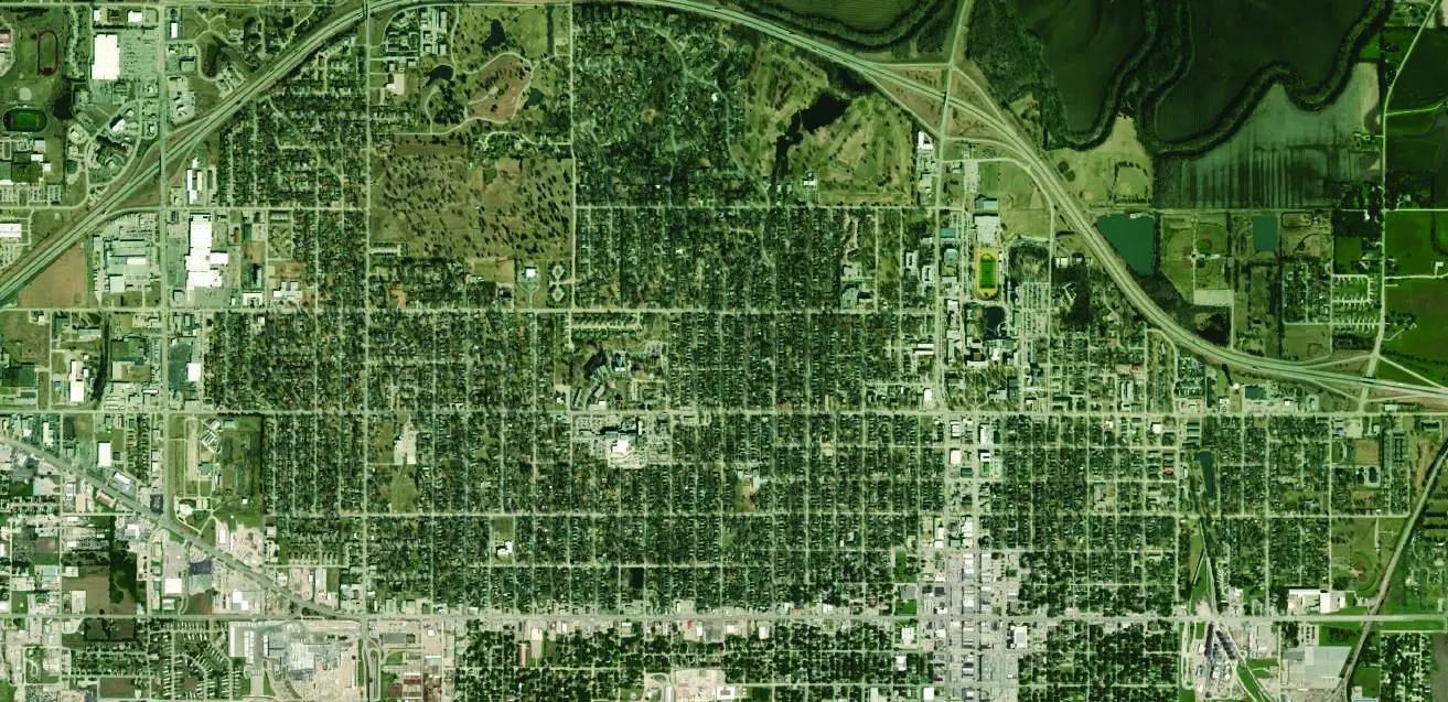
Lyon County, Kansas
Eliminating approval bottlenecks
Reduced permit approval steps from 14 steps down to 4 steps. Cut permit application turnaround time from 2 months to just 1–2 days.
Video Case Study 
Putnam County, Georgia
A modern permitting system the public can access
Residents apply, upload documents, and receive plans without stepping into the office
FAQ
Frequently asked questions.
Straight answers on pricing, configuration, GIS integration, and automation.
Our Solutions
A growing platform of GIS-integrated solutions
Have a question?
Contact our Sales Team
Parcel Management
Integrated information for better decision making and citizen engagement. Our platform integrates with CAMA, Tax Administration, and other systems, giving you unified tools for appraisals, appeals, sales searches, forms, and more.
Explore Parcel Management 

Asset Management
Discover powerful digital tools that make work more accurate and efficient. Find solutions for monitoring and managing fleet, work orders, permits, infrastructure, water systems, and more.
Explore Asset Management 
Ready to see parcel-centric permitting in action?
See how GeoPermits helps your team manage the process, understand the place and build on what you know.
Request a live product walkthrough