Client: Lyon County, Kansas
Industry: Local Government
Solution: Schneider Geospatial’s GeoPermits
Key Contacts:
- Sam Seeley - Director of Planning and Zoning, Floodplain Management
- Sarah Dickmeyer - Project Lead, Schneider Geospatial
- Lisa Schmidt - Senior Project Manager, GeoPermits Team
Introduction: Overcoming Paper-Based Challenges
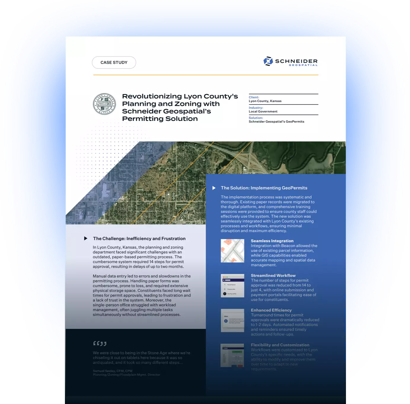
In Lyon County, Kansas, the planning and zoning department faced significant challenges with an antiquated, paper-based permitting process. The cumbersome system required 14 steps for permit approval, resulting in delays of up to two months. The need for a modern solution was clear, and Schneider Geospatial’s permitting solution emerged as the perfect fit.
The Problem: Inefficiency and Frustration
- Data Management: The manual entry of data led to inefficiencies and errors, slowing down the permitting process.
- Document Handling: Paper forms were cumbersome, prone to loss, and required physical storage space.
- Customer Experience: Constituents faced long wait times for permit approvals, leading to frustration and a lack of trust in the system.
- Operational Bottlenecks: The single-person office struggled with workload management, often having to handle multiple tasks simultaneously without streamlined processes.
The Solution: Implementing GeoPermits
- Seamless Integration:
- Integration with Beacon to utilize existing parcel information.
- GIS capabilities enabled accurate mapping and spatial data management.
- Streamlined Workflow:
- Reduced the number of steps from 14 to 4 for permit approval.
- Online submission and payment portals facilitated ease of use for constituents.
- Enhanced Efficiency:
- Turnaround time for permit approvals reduced to 1-2 days.
- Automated notifications and reminders ensured timely actions and follow-ups.
- Flexibility and Customization:
- Customized workflows tailored to Lyon County’s specific needs.
- Ability to modify and improve workflows over time to adapt to new requirements.
Results: A Transformation in Operations
- Operational Efficiency:
- Significant reduction in time spent on permitting processes.
- Sam Seeley now manages permits efficiently using a tablet, eliminating the need for paper forms.
- Improved Customer Experience:
- Faster approval times and online payment options increased satisfaction among constituents.
- Positive feedback from users appreciating the quick responses and easy application process.
- Enhanced Internal Collaboration:
- Better communication and coordination between different departments.
- Use of internal workflows for tasks like violation tracking and project management.
- Scalability:
- Implementation of 26 workflows within the first year, with the flexibility to add more as needed.
- Continuous collaboration with other county departments to expand the use of GeoPermits.
Conclusion: A Successful Transformation
Lyon County's experience with Schneider Geospatial's specialized permitting solution showcases the transformative power of modern technology in local government operations. By enhancing efficiency, improving customer satisfaction, and fostering better internal communication, our permitting solution has set a new standard for planning and zoning departments.
For more information on how Schneider Geospatial’s permitting solution can benefit your community, please contact our sales team.
Download the PDF


Share