

The challenge
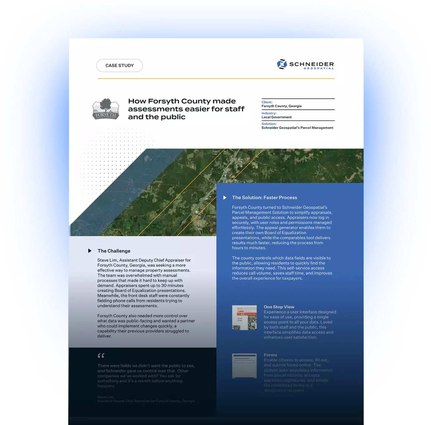
Steve Lim, Assistant Deputy Chief Appraiser for Forsyth County, Georgia, was seeking a more effective way to manage property assessments. The team was overwhelmed with manual processes that made it hard to keep up with demand. Appraisers spent up to 30 minutes creating Board of Equalization presentations. Meanwhile, the front desk staff were constantly fielding phone calls from residents trying to understand their assessments.
Forsyth County also needed more control over what data was public-facing and wanted a partner who could implement changes quickly, a capability their previous providers struggled to deliver.
“There were fields we didn’t want the public to see, and Schneider gave us control over that. Other companies we’ve worked with? You ask for something and it’s a month before anything happens.”- Steve Lim
The solution: Faster Process
Forsyth County turned to Schneider Geospatial’s Parcel Management solution to simplify appraisals, appeals, and public access. Appraisers now log in securely, with user roles and permissions managed effortlessly. The appeal generator enables them to create their own Board of Equalization presentations, while the comp map tool delivers results much faster, reducing the process from hours to minutes.
The county controls which data fields are visible to the public, allowing residents to quickly find the information they need. This self-service access reduces call volume, saves staff time, and improves the overall experience for taxpayers.
“This product has made our county and citizens aware of the assessments, and it’s been a blessing for our taxpayers.”- Steve Lim
The impact
Forsyth County’s partnership with Schneider Geospatial began in 2008 and continues to thrive. The team has found the solution to be both powerful and cost-effective, with new features revealing themselves the deeper they explore the platform. Most importantly, the support has been fast and consistent.
Today, Forsyth County benefits from:
- A user-friendly appeal generator that turns 30-minute tasks into a 5-minute process
- Fewer calls to the front counter thanks to improved public access
- Easy-to-manage user roles and permissions for appraisers
- A responsive support team that implements changes quickly
“The more you dig into it, the more you find, ‘Wow, there’s more bells and whistles here than I thought.’”- Steve Lim
If your county is looking to modernize property assessments and reduce inefficiencies, request a demo with Schneider Geospatial today.
Download the PDF


Share