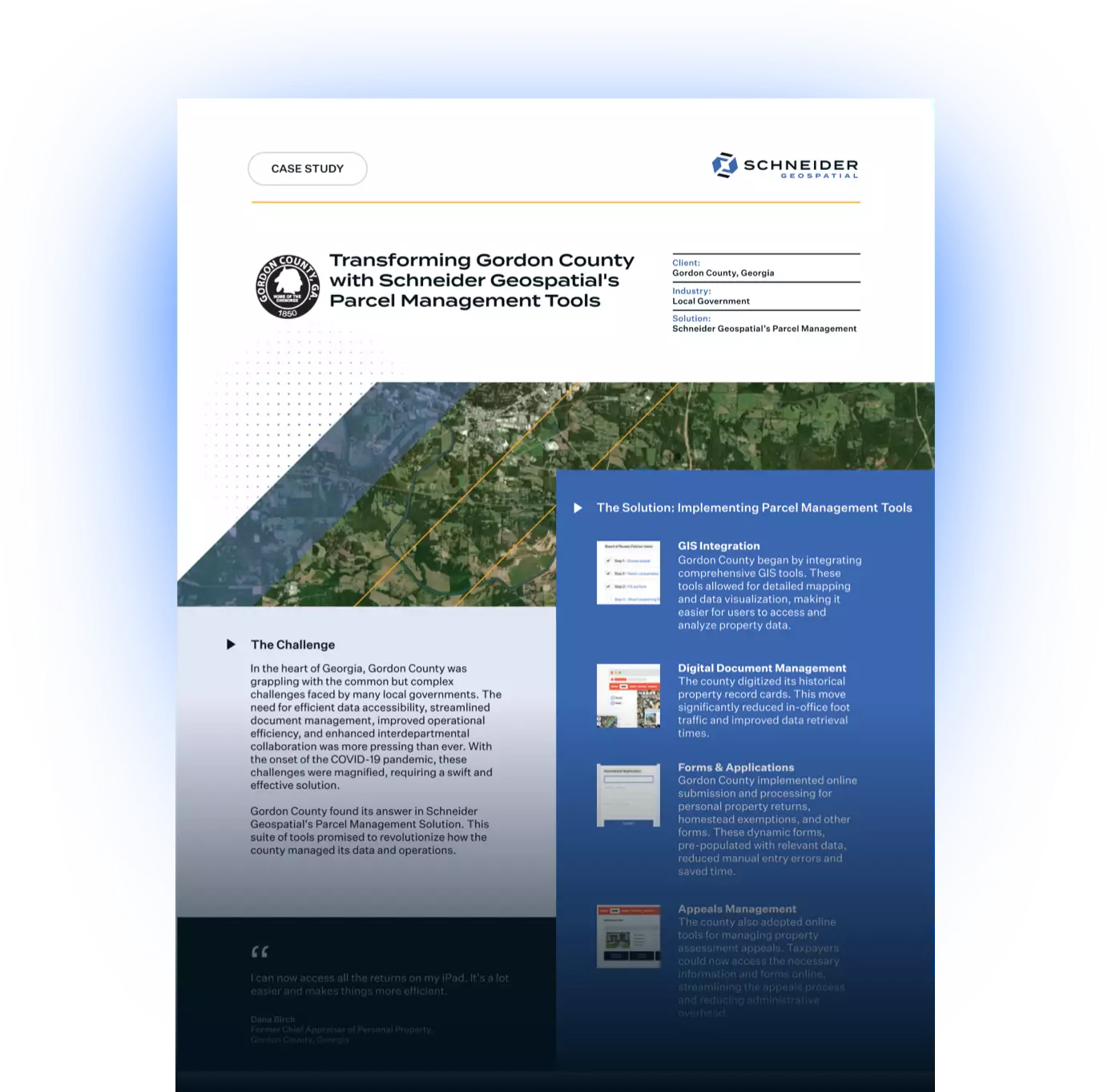
Client: Gordon County, Georgia
Industry: Local Government
Solution: Schneider Geospatial’s Parcel Management Tools
Key Contacts:
- Dana Birch - Chief Appraiser
- Ashley Bailey - Chief Appraiser, Real Estate
Introduction: A New Challenge
In the heart of Georgia, Gordon County was grappling with the common but complex challenges faced by many local governments. The need for efficient data accessibility, streamlined document management, improved operational efficiency, and enhanced interdepartmental collaboration was more pressing than ever. With the onset of the COVID-19 pandemic, these challenges were magnified, requiring a swift and effective solution.
Gordon County found its answer in Schneider Geospatial's Parcel Management Tools, previously known as qPublic.net/Beacon. This rebranded suite of tools promised to revolutionize how the county managed its data and operations.
The Problem: Data Chaos and Operational Inefficiency
- Data Accessibility: Non-technical users and field appraisers found it challenging to access and utilize GIS and property data effectively. The systems in place were not user-friendly, leading to inefficiencies and frustration.
- Document Management: With a vast volume of property records, managing and accessing these documents was cumbersome. Physical storage was not only space-consuming but also prone to loss and damage.
- Operational Efficiency: The pandemic highlighted the county's struggle with remote work. The existing setup was not conducive to maintaining productivity while working from home, and in-office foot traffic posed health risks.
- Interdepartmental Collaboration: Communication and data sharing across departments were fragmented. Each department operated in silos, leading to delays and miscommunication.
The Solution: Implementing Parcel Management Tools
- Step 1: GIS Integration
- Gordon County began by integrating comprehensive GIS tools. These tools allowed for detailed mapping and data visualization, making it easier for users to access and analyze property data. The user-friendly interface was a game-changer for non-technical staff.
- Step 2: Digital Document Management
- Next, the county digitized its historical property record cards. This move significantly reduced in-office foot traffic and improved data retrieval times. Secure digital storage meant that documents were easily accessible and safe from physical damage.
- Step 3: Online Forms and Applications
- Gordon County implemented online submission and processing for personal property returns, homestead exemptions, and other forms. These dynamic forms, pre-populated with relevant data, reduced manual entry errors and saved time.
- Step 4: Appeals Management
- The county also adopted online tools for managing property assessment appeals. Taxpayers could now access the necessary information and forms online, streamlining the appeals process and reducing administrative overhead.
- Step 5: Enhancing Interdepartmental Collaboration
- A centralized data repository was created, accessible to various county departments. Custom layers and data points were developed to meet specific departmental needs, fostering better communication and collaboration.
- Step 6: Facilitating Remote Work Finally
- The county ensured that all these tools were optimized for remote access and mobile use. Appraisers could now access data and documents from any location, maintaining productivity during the pandemic.
The Transformation: A Success Story
- Enhanced Data Accessibility
- The user-friendly interface of the Parcel Management Tools allowed both technical and non-technical users to easily access and utilize comprehensive property data. This led to quicker decision-making and improved efficiency.
- Improved Document Management
- Secure digital storage and easy access to historical records drastically reduced the need for physical storage and in-office visits.
- This transformation was particularly impactful during the pandemic, as noted by Chief Appraiser Dana Birch, "We figured it was time to digitize our records so the public could access them easily."
- Operational Efficiency
- With the new online forms and document access, in-office foot traffic was significantly reduced. Remote work capabilities were enhanced, allowing staff to maintain efficiency and safety during the pandemic. Dana Birch shared, "I can now access all the returns on my iPad. It's a lot easier and makes things more efficient."
- Interdepartmental Collaboration
- The centralized data repository and custom departmental tools improved communication and data sharing across the county. As Ashley Bailey, Chief Appraiser of Real Estate, emphasized, "This site has become the go-to for multiple departments. Our county’s goal is to have this site set up to where it’s an all-in-one solution."
- Positive User Experience
- The user-friendly interface, mobile optimization, and ADA compliance ensured that the Parcel Management Tools were accessible to a wide audience. This inclusivity led to a better overall experience for both staff and the public.
Conclusion: A Bright Future
Gordon County's experience with Schneider Geospatial's Parcel Management Tools demonstrates the transformative power of innovative solutions in local government. By enhancing data accessibility, streamlining document management, facilitating remote work, and fostering interdepartmental collaboration, these tools have significantly improved the county's ability to serve its residents and manage its resources effectively.
As Schneider Geospatial continues to evolve and expand its offerings, Gordon County stands as a testament to the potential of these tools to revolutionize local government operations. For more information on how Schneider Geospatial can assist your local government, contact our sales team.
Download The PDF


Share